10,3 km | 14,5 km-effort
Boucle 2 à 3 jours entre Bagnols-les-Bains, Le Bleymard, la Station du mont Lozère et La Fage
sperchant
Gebruiker
Lengte
50 km
Max. hoogte
1699 m
Positief hoogteverschil
1443 m
Km-Effort
69 km
Min. hoogte
920 m
Negatief hoogteverschil
1432 m
Boucle
Ja
Datum van aanmaak :
2025-01-20 23:54:31.205
Laatste wijziging :
2025-01-20 23:55:39.55
15h43
Moeilijkheid : Zeer moeilijk
Gratisgps-wandelapplicatie
Over ons
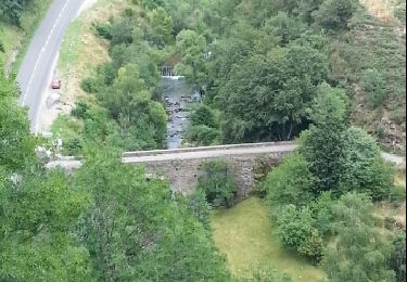
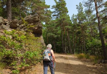
Tocht Stappen van 50 km beschikbaar op Occitanië, Lozère, Mont Lozère et Goulet. Deze tocht wordt voorgesteld door sperchant.
Plaatsbepaling
Land:
France
Regio :
Occitanië
Departement/Provincie :
Lozère
Gemeente :
Mont Lozère et Goulet
Locatie:
Unknown
Vertrek:(Dec)
Vertrek:(UTM)
552790 ; 4928245 (31T) N.
Opmerkingen
Wandeltochten in de omgeving
Château de Tournel
Stappen
Medium
Mont Lozère et Goulet,
Occitanië,
Lozère,
France
14,1 km | 22 km-effort
7h 25min
Ja
Clochers de tourmente
Stappen
Medium
(2)
Mont Lozère et Goulet,
Occitanië,
Lozère,
France
19,2 km | 27 km-effort
6h 8min
Ja
Tournel Oulmes
Stappen
Gemakkelijk
Mont Lozère et Goulet,
Occitanië,
Lozère,
France
6,5 km | 9,4 km-effort
2h 40min
Ja
Auriac - Nissoulorgues
Paard
Moeilijk
Mont Lozère et Goulet,
Occitanië,
Lozère,
France
30 km | 39 km-effort
5h 11min
Neen
Auriac - Nissoulorgues
Paard
Moeilijk
Mont Lozère et Goulet,
Occitanië,
Lozère,
France
30 km | 39 km-effort
5h 11min
Neen
mont lozere
Stappen
Gemakkelijk
Lanuéjols,
Occitanië,
Lozère,
France
14,4 km | 19,9 km-effort
4h 2min
Neen
château de la tournelle
Stappen
Medium
Allenc,
Occitanië,
Lozère,
France
12,3 km | 17,9 km-effort
3h 42min
Neen
La Loubière - Lanuéjols
Stappen
Medium
Chadenet,
Occitanië,
Lozère,
France
17,7 km | 24 km-effort
4h 26min
Ja